.svg)
Below the Canopy, in Real Time
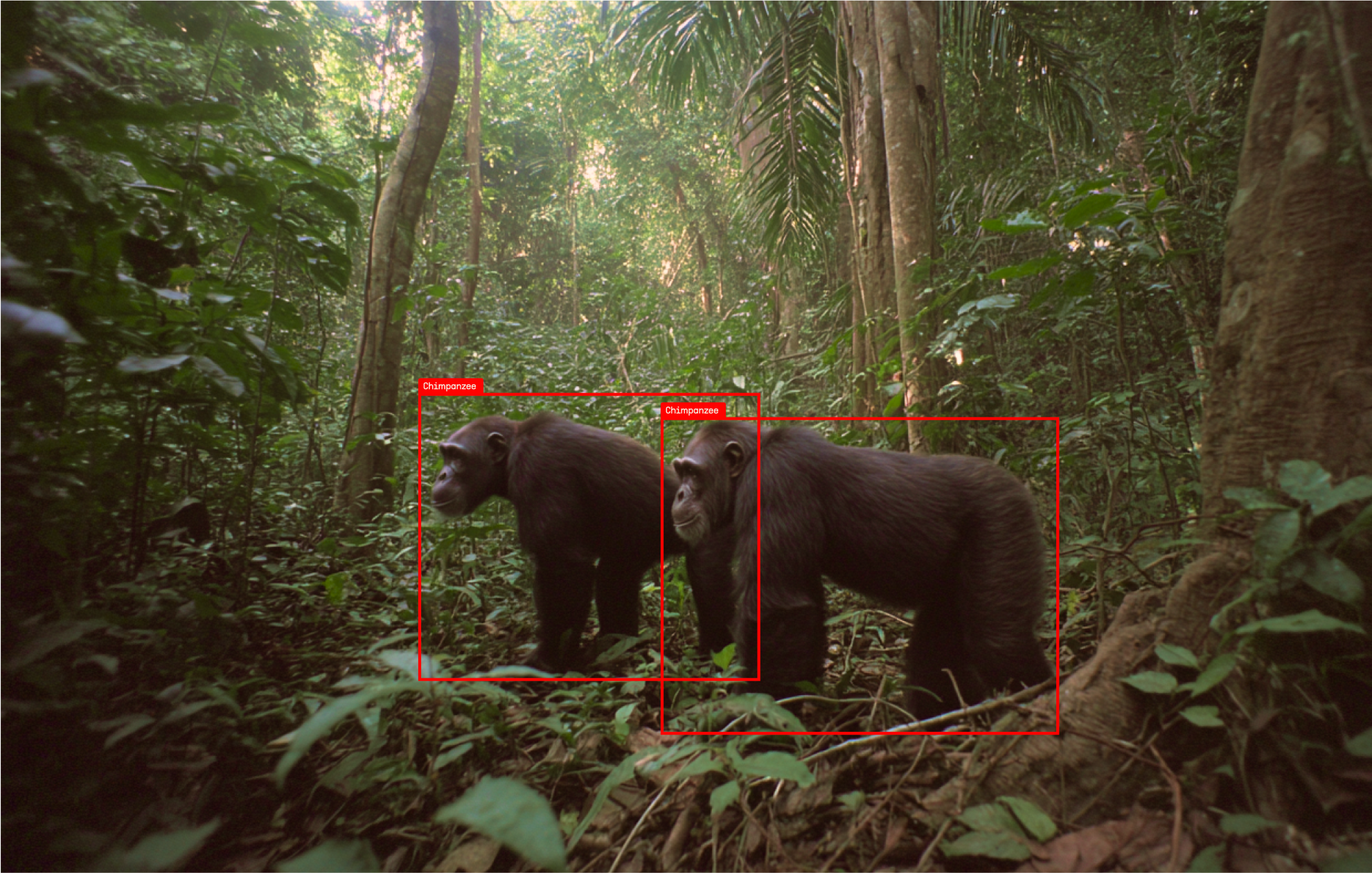
Satellites can tell you a great deal about a landscape. What they cannot do is see beneath the canopy. For the teams working under it, rangers, forest guards, biologists and the communities living alongside wildlife, the information that matters most has always been the hardest to get and the slowest to arrive.
This month Communications of the ACM, the flagship publication of the Association for Computing Machinery, published a feature by Samuel Greengard on how field researchers are turning to AI and connected devices to monitor animals in the wild. Mark Musson and Andy Lee of Nightjar spoke to him for the piece, alongside Tanya Berger-Wolfof the Ohio State University's Imageomics Institute, Sara Beery of MIT and Jes Lefcourt of EarthRanger.
The article gets at something we spend a lot of time explaining. The interesting design question in this field is not which model identifies the animal. It is where the work happens.
A camera in a difficult place is costly in ways that have nothing to do with hardware. Someone has to walk out to it. Swapping batteries and collecting cards disturbs the site and exposes the camera's position. And by the time images come back, whatever happened has already happened.
So TrailGuard divides the work. A small model runs on the camera itself, on an ARM processor paired with a neural processing unit, asking one narrow question of every captured frame: is there a person, a vehicle or an animal here. Mark described it to ACM as the first filter. It is not trying to be clever. It is deciding whether a frame is worth the power and airtime it would cost to send.
That single decision changes two things at once. Cameras survive far longer unattended, because transmitting drains a battery and watching does not. And for the frames that matter, the timeline collapses. As the article notes, a critical frame reaches a ranger's phone in 20 to 40 seconds. Our West Bengal deployment with RESOLVE, JICA and the West Bengal Forest Department measured ~42 seconds in the field, against traditional detection pathways closer to 170 minutes.
The heavier processing happens once an image reaches the cloud, where a detector, a species classifier and a vision-language model work in sequence to describe the scene. We constrain the classifier to the species that actually occur near each individual camera, which reduces both error and hallucination. Where the system cannot resolve an image confidently, it hands off to a person rather than guessing. Nothing here is a solved problem, and we would rather be clear about the edges than pretend otherwise.
This is the direction we continue to build in:
- Low-latency, low-power edge AI doing the filtering that makes long unattended deployments possible
- Cloud inference with geographic context, constraining classification to what actually lives near each camera
- The Nightjar IQ dashboard, unifying monitoring, analytics and alert configuration across sites
- Connectivity beyond cellular, with satellite and gateway configurations currently in field testing
None of this replaces the people doing the work. TrailGuard sits inside programs run by teams who know their landscapes far better than any model does. It is useful to the degree that it saves them time, gets them to the right place sooner, and stops them working through three thousand photographs of cattle to find one elephant.
If your team is evaluating real-time monitoring, or preparing for a larger regional deployment, we would be glad to talk.
Read the article at Communications of the ACM: https://cacm.acm.org/news/ai-monitoring-of-animals-gets-wild/
Read the West Bengal paper: https://doi.org/10.1111/csp2.70186